Our story
Urapuntja is the story of a community that took control of its own health and never gave it back. The health service is one important part of that story.
History →
From visiting nurses every three weeks, to our community taking control in 1979, to today.
Community control →
Our community runs its own health service. Our Board, our Elders, and how decisions are made.
The Utopia homelands
About 270 kilometres north-east of Alice Springs, along the Sandover Highway, sixteen small homelands make up the community we serve.
The homelands movement is central to who we are. When many Aboriginal people across the Territory were moved into big settlements, the families of Utopia stayed on their Country, living in small family groups in the places they hold responsibility for. The 1974 health survey that led to our founding saw it clearly: a health service here had to fit the way people live on the homelands.
That's still how we work. Our clinic stands at Amengernterneah, and our teams travel out from there to every homeland, so health care comes out to Country. Living on Country means living close to family, language, ceremony and the responsibilities that hold people strong. Research keeps confirming that homelands living is better for health. Our people have always known it.
Homelands map
Our sixteen homelands follow the Sandover River. Our clinic sits to the north, and our teams provide services to each community as often as possible.
The map also shows six additional outer communities.
Tap a dot to see which place it is.
- Homelands
- Outer communities
- The clinic
- Sandover Highway
- Sandover River (Urapuntja)
A simplified map, not to scale. The outer communities are further out than shown.
Alice Springs is about 270 km south. Tennant Creek is about 350 km north.
Homeland, with the clinic
Amengernterneah
Also called Urapuntja Health Service
Home of the Urapuntja Health Service clinic, the base for clinical care, visiting specialists and the outreach teams that travel to every homeland.
Choose any place on the map.
Find a place by name
Tap a name to see where it is on the map.
Homelands
- Amengernterneah Urapuntja Health Service Home of the Urapuntja Health Service clinic, the base for clinical care, visiting specialists and the outreach teams that travel to every homeland.
- Ankerrapw Utopia Homestead The old Utopia Homestead, where the outreach health program that became Urapuntja began in 1977.
- Apungalindum In the heart of the homelands, west of Arlparra
- Arawerr Soapy Bore Home of the Soapy Bore Crows, the football team that brings the homelands together.
- Arlparra The largest centre in the Utopia homelands, on the Sandover Highway, with the store, school and airstrip.
- Artekerr Three Bores First stop on the run from Alice Springs
- Atheley The clinic's nearest neighbour, right on the highway
- Atnarara Soakage Bore Served since the service's earliest days
- Atneltyey Boundary Bore On the western side of the homelands
- Camel Camp In the south of the homelands, west of the Sandover
- Indaringinya Antarrengeny The northernmost stop on the clinic run
- Inkawenyerre Rocket Range On the northern stretch, past the clinic
- Inkwelaye Kurrajong Bore Served since the service's earliest days
- Iylentye Mosquito Bore Just west of the clinic, off the highway
- Ngkwarlerlanem Ngwalala One of the northern homelands, toward Ampilatwatja
- Tommyhawk Swamp On the southern stretch, near the old homestead
Outer communities
- Angula
- Atnwengerrpe Ammaroo
- Honeymoon Bore
- Irrultja
- Mulga Bore Akaye
- Welere Derry Downs
Country that the world knows through art
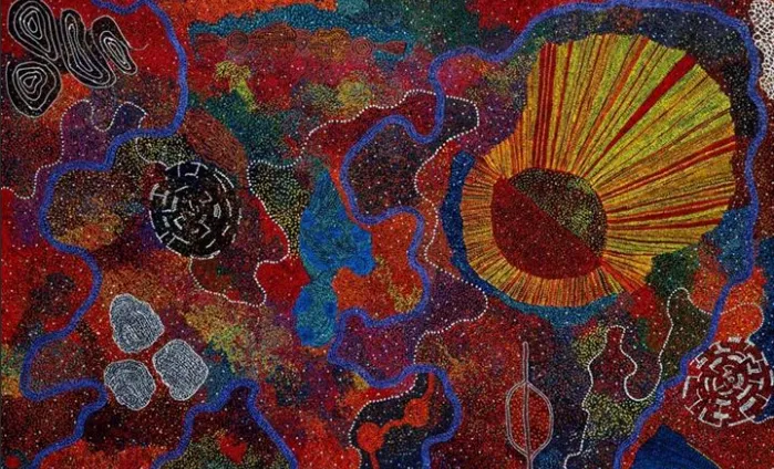
Utopia is home to one of the most celebrated art movements in Australia. The artists of these homelands, including some of the country's best-known painters, have carried the story of this Country to the world.